// index.tsx — entry point
const developer = {
Rawan Said Al Siyabi
CS graduate building full-stack apps and GIS systems that work in the real world — not just in demos.
/** about.ts — who's running this process */
Building software that
maps the real world.
I hold a BSc in Computer Science from Middle East College (in partnership with Coventry University, UK). My graduation project — a full-stack application for Mazoon Dairy Company — earned a 90% grade and gave me hands-on experience delivering production software against real business requirements.
Since graduating I have worked across government digital-transformation programs, satellite projects, and GIS infrastructure at three Omani ministries. I write across the stack — JavaScript, PHP and SQL on the web side; Swift for iOS; and Python when scripting spatial data in ArcGIS. I care about software that is reliable in the real world, not just in a demo.
// proficiency.map()
360Remit
- Test planning, execution, and end-to-end QA across functional, integration, regression, UAT, API, and security testing cycles.
- Validation of business, technical, and security requirements against functional specifications.
- Defect and vulnerability tracking in close collaboration with developers through to resolution.
- Cybersecurity validation for the mobile app and Admin Portal — authentication, session management, access control, and secure workflows.
- Secure API and payment testing — wallet transactions, remittances, payment gateways, card payments, and fintech integrations.
- Release validation, production verification, and audit-ready test documentation.
Geo Solutions
- Spatial data management, analysis, and web-layer publishing using ArcGIS Pro.
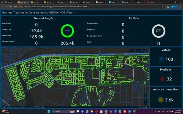
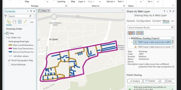
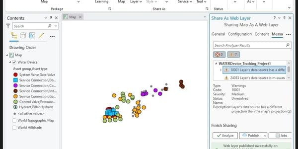
- Water infrastructure asset mapping — valves, hydrants, service connections — with ArcGIS Enterprise.
- Resolved GIS layer projection issues and prepared datasets for web deployment.
- Created thematic maps with categorised asset types for municipal infrastructure.
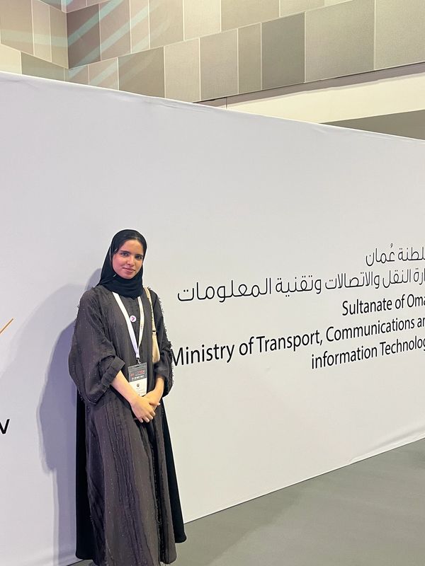
Ministry of Transport, Communications & IT
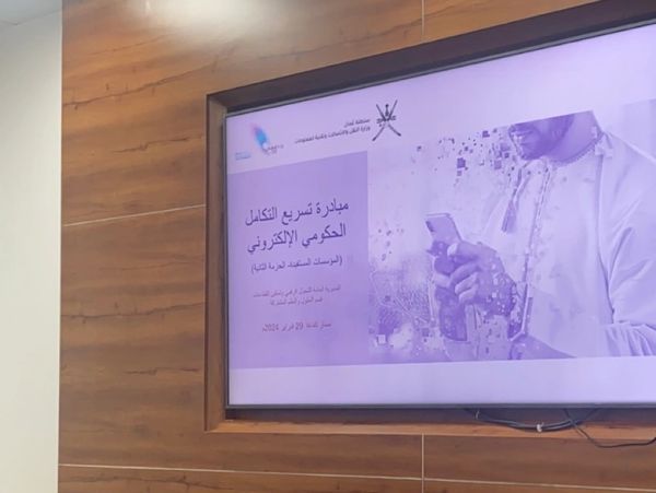
- Contributed to the national digital-transformation programme.
- Evaluated technology solutions and delivered workshops to ministry stakeholders.
- Produced written content and presented topics to ministry leadership.
Ministry of Housing & Urban Planning
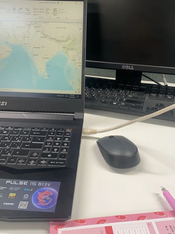
- Used ESRI ArcGIS Pro for remote sensing and geospatial analysis.
- Studied valley paths across Oman using satellite imagery.
- Corrected Python scripts connecting spatial layers to the Geo Oman platform.
Ministry of Transport, Communications & IT
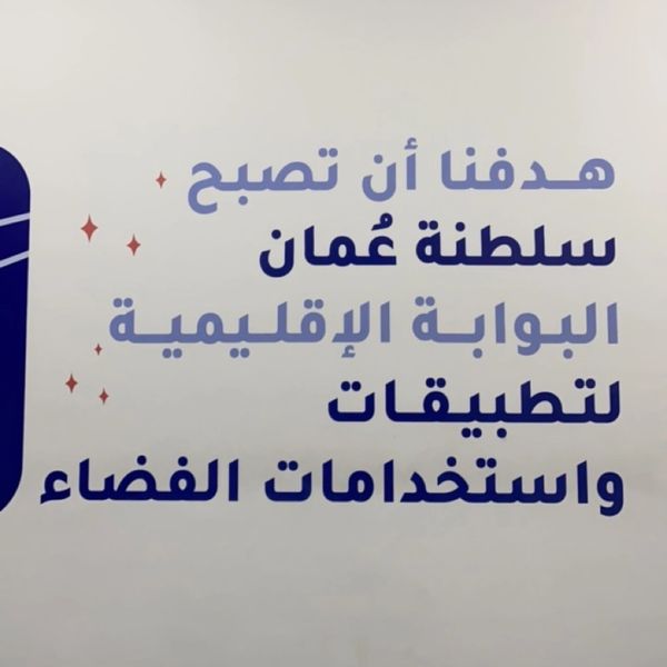
- Participated in the National Space Program.
- Contributed to project management and analysis workflows.
- Worked on a CubeSat project focused on fish-wealth monitoring.
Middle East College
- Provided technical support to students and academic staff.
- Performed periodic hardware inspection and maintenance.
// rawan.photos()
import { backend, frontend, gis, tooling } from '@stack/core';
stack.config.ts
export const frontend = [ /* Frontend */]
export const backend = [ /* Backend */]
export const gis = [ /* GIS / Spatial */]
export const tooling = [ /* Tooling */]
// build.output
// portfolio.ts — shipped work
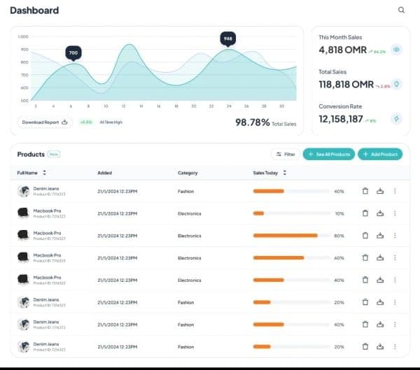
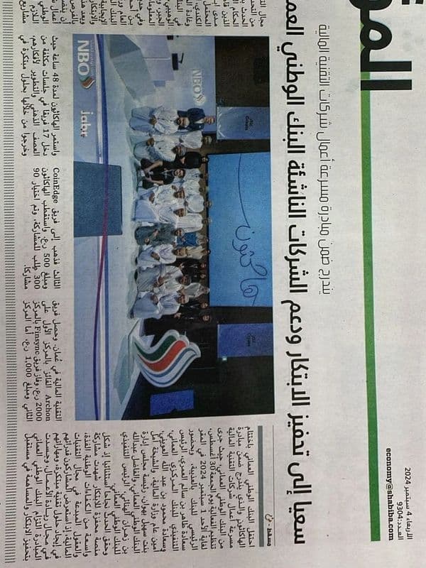
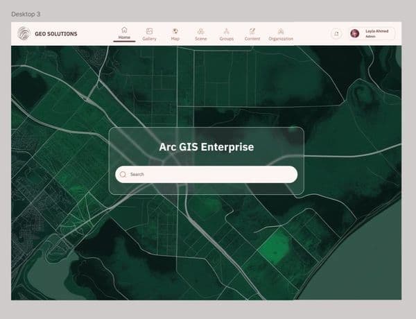
Selected Projects
// offline.notes.ts — process running outside of work hours
Off-hours mode
arcgis.mapping
GIS & Spatial Analysis
Turning raw coordinates into meaningful maps — from water networks to valley paths.
ios.dev
iOS Development
Building native iPhone apps with Swift — from architecture to App Store.
ux.design
UI / UX Design
Designing interfaces in Figma before writing a single line of code.
// gis.coordinate_converter() — a tool I actually use
$ render world.ts
Places I’ve mapped
● amber pins = places worked / visited · drag to rotate
9 locations · Oman-based
$ cat Rawan_Said_Alsiyabi_CV.pdf
resume
Full CV with education, experience, projects, and certifications.
$ run contact.ts
Let’s connect
// primary — fastest response
Rawan1172h@gmail.com
// open to connect
rawan-al-siyabi
// by appointment
Phone
+968 79110606